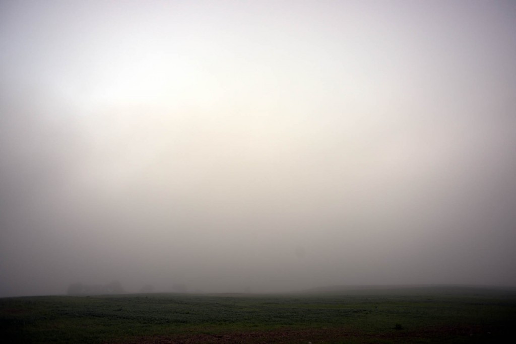
Yet another day of mountainous terrain. Is it the last? I hope so. I woke in a dense fog and didn’t know what was ahead of me until I was upon it. Another mountain to cross, but it came and went and then another came. I think Mount Laurel, which I just crossed to get to the town of Mt. Pleasant, is the last of my Appalachian trials.
I hope so… I know there are many many rolling hills ahead of me, but those huge rises and falls take their tolls on my feet, my knees, my thighs, my core, and one pair of my shoes which have started to come apart! I’ve had daymares of the united states laid out ahead of me and every time I come to the crest of a hill, just before I can see over it the land ahead wrinkles and scrunches to create new hills before me as the land behind me turns back into plains forever tormenting me.
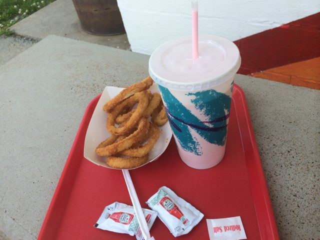
At least I did find this along the way though…
a strawberry shake and onion rings. The onion rings were so greasy though I couldn’t finish them. Even when using the large number of calories I do each day I still can’t bring myself to stomach some things.
On my way down from Mount Laurel on a four lane 8% grade highway that went down for over a mile I did find these
which creeped me out a bit. It has to be a deer, right?
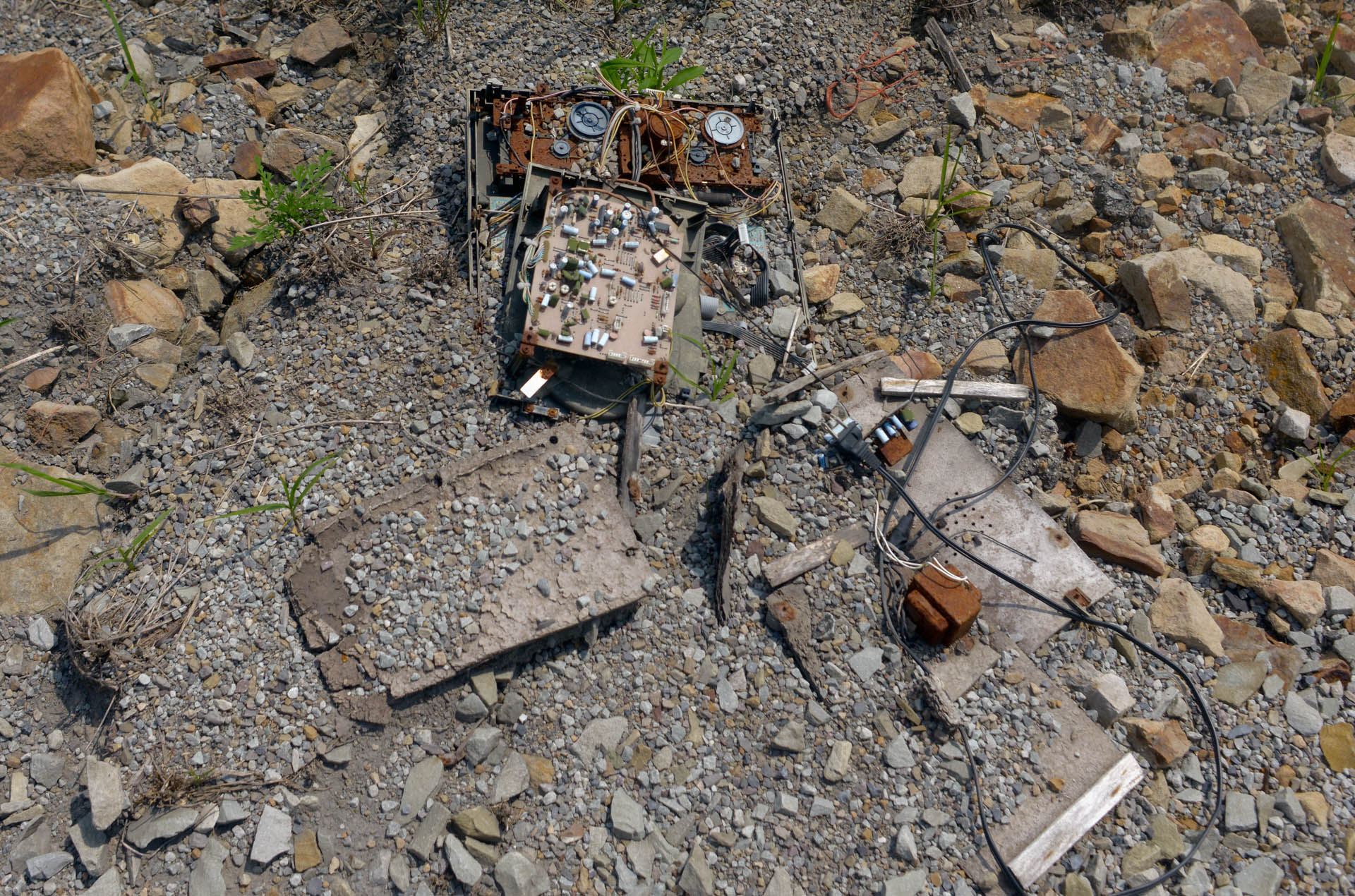
Then I found this victim, possibly of some sort of an Office Space-style technocide.

I wish I could take out my feelings on the hills and mountains of Pennsylvania this way… but soon they will be far behind me. I hope to hit Columbus Ohio by the end of next week and I will have left this hill hell behind me.
I must admit, I am enjoying the skinnier stomach and tighter abdomen gained from all the hill climbs, but I’d like to enjoy some cruising on flatish roads that don’t wind north, south, and only occasionally west.


7 Comments
Laurel Hill (or ridge) is the westernmost ridge in Pennsylvania, it is 70 miles long, and marks part of the eastern continental divide between the Chesapeake Bay and Ohio River drainages.
wooohooooooo!
I’m watching “HER”, it’s kinda weird…
Don’t worry — you have a thousand miles of largely flat lands and squared-off roads ahead of you … except in Missouri.
Isn’t Columbus rather northerly? And urban. I am assuming you’re headed toward Jeff City via the Katy Trail …
Ah, just found the map link Mark posted on FB. Now I see those long bike trails around Columbus and Dayton. A possible alternative that would keep you out of those hills in southern Indiana: https://maps.google.com/maps?saddr=Zanesville,+OH&daddr=39.9424519,-82.515386+to:39.8938402,-83.2153255+to:39.7437049,-83.8066586+to:39.6297461,-84.8451272+to:39.5228384,-85.7426692+to:39.544694,-86.3261901+to:39.524132,-86.5640474+to:39.488102,-86.7855381+to:39.444546,-86.9714369+to:39.4473832,-87.1774543+to:39.4627654,-87.3316396+to:39.4629586,-87.3706144+to:39.4668005,-87.424773+to:39.4467449,-87.4840227+to:39.1271898,-88.4999492+to:39.083017,-88.6570484+to:38.9924364,-88.9498942+to:38.9348293,-89.2323308+to:38.9101801,-89.3407443+to:38.8926552,-89.9008173+to:MO-94+W&hl=en&ll=39.355538,-85.836182&spn=1.851865,4.22699&sll=39.275853,-86.977386&sspn=0.926997,2.113495&geocode=FflwYQId-JMc-ylt-9y2xO03iDHXKa3YIgUhkQ%3BFTN5YQIdRuoU-ykjTt62TBI4iDHzem_cNJ4TTg%3BFVC7YAIdIzwK-yk7ti244pg4iDEndq52QKo2CQ%3BFdhwXgIdPjYB-ymDU3znh6ZAiDEuvNQS-PkhhQ%3BFbKzXAIduV3x-imH09S85RtAiDGNA7i3t2P-qg%3BFRYSWwIds6vj-inTnDBvtxlriDGHQqQnzbRdkw%3BFXZnWwIdUsTa-ikjPtH_2p5siDFeCUHmv0kL0g%3BFSQXWwIdMSPX-ikxZoY1o5RsiDGrtCFDyHZEhw%3BFWaKWgId_sHT-ilHBNgnUuRsiDG7Vb0oOR9uRw%3BFULgWQId1OvQ-il14j1ZTANtiDFXNgKNm37y1Q%3BFVfrWQIdEsfN-il7hcp0hg1tiDFALoeU3D26Vw%3BFW0nWgIdyWzL-im_9J2RJW5tiDHfSMSe7qa0lA%3BFS4oWgIditTK-ilra3–5G9tiDFkNoKfVVpdgA%3BFTA3WgId-wDK-ilJ830W12RtiDEryjYxrONpUA%3BFdjoWQIdihnJ-ikZC3m6x3xtiDFuxI-Yijw6ug%3BFZUIVQIdE5m5-inBby2X65dziDE9SgF77gzU1g%3BFQlcVAIdaDO3-ilzGsKFao5ziDG-PSd8gXPXmQ%3BFTT6UgIderuy-inBWdFkUG10iDFunVKW3HZ-zA%3BFS0ZUgIdNmyu-ilZqwDbyDl0iDGrrKgvzv0vzQ%3BFeS4UQIduMSs-im9Ct3GDzR0iDEnSHU5oWwwwA%3BFW90UQId7zik-ikNTbyob_F1iDHmE63Cm4uLCg%3BFTu0UQIdGMGd-g&mra=dvme&mrsp=9&sz=10&via=1,2,3,4,5,6,7,8,9,10,11,12,13,14,15,16,17,18,19,20&t=m&z=9&lci=bike
Yeah thankfully the katy trail will provide a nice path from stl to jeff. The highways I can legally take between Stl and Jeff otherwise are more constantly hilly than anything I’ve encountered, though their scale is less.
Tim, I look forward to reading your adventures each day. I am envious of you for the huge challenge you have set for yourself. Good luck & keep posting.
Marty Smith